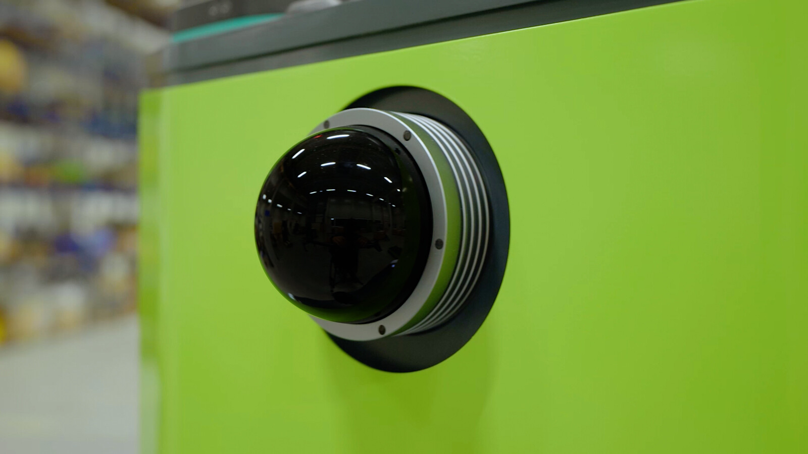
Based on data from laser scanners, the navigation algorithm developed in-house calculates the current position in space. The AGILOX vehicle uses the contours of the surroundings, even in complicated environments, to navigate with millimeter precision. Obstacles are automatically recognized as such by the AGILOX vehicle and, if the physical situation permits, are avoided while maintaining the safety zones. There are several (safety) scanners that help navigate the vehicle precisely and safely through the environment:
- Navigation laser scanner
- Distance sensor, load monitoring
- Safety laser scanner
- Distance sensors, fork tips
- Laser scanner, pallet detection
- Obstacle avoidance sensor